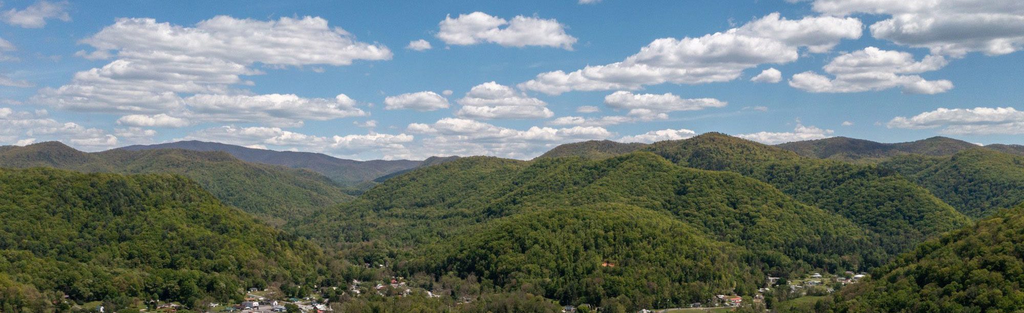



The mount Rogers High Country
At the edge of town, the Mount Rogers National Recreation Area (MRNRA) stretches as far as the eye can see, across the highest peaks in the state, over mountain balds and spruce-fir forests, trout streams, and more than 400 miles of trails.
Within Mount Rogers are four wilderness areas, eleven campgrounds, and more than 60 miles of the Appalachian Trail. The Mount Rogers National Recreation Area was established in 1966 and manages 200,000 acres of National Forest land surrounding Mount Rogers, the highest peak in Virginia at 5,729′ elevation. From hiking, camping, biking, and fishing, to paddling, birding, stargazing, and scenic driving, you’ll find a new adventure around every turn. Over one million visitors come to the Mount Rogers area every year.
Plan your visit to the National Forest:


Mount Rogers Area Highlights
Virginia Creeper Trail
Virginia Creeper Trail
Best for: family-friendly biking, trail running, dog walking, flora and fauna
Hidden gem: When the conditions are right, the trail can also be a great spot for cross-country skiing!
Note: Damascus is right in the middle of the Virginia Creeper Trail. There are several outfitters in town that provide bike rental and shuttle service for the Virginia Creeper Trail. They make trip planning easy!
Appalachian Trail
Appalachian Trail
Best for: hiking through the heart of the Mount Rogers National Recreation Area, which holds 60 miles of the Appalachian Trail
Note: There are many trailheads and access points to the Appalachian Trail near Damascus. Find a spot on the map and choose your own adventure!
Whitetop Laurel Creek
Whitetop Laurel Creek
Best for: trout fishing, whitewater paddling (seasonal), swimming holes
Known for: one of Virginia’s largest and most beautiful wild trout streams, with seven miles of stocked trout waters and an additional five miles of special regulation waters. Fishing access on Whitetop Laurel and other nearby streams ranges from roadside to remote.
Mount Rogers Summit, 5,729′
Mount Rogers Summit, 5,729′
Known for: highest peak in Virginia at 5,729′ elevation, only accessible by foot, popular day hike or weekend backpacking trip
Best for: day hiking, backpacking, trail running, peak bagging
Note: Although the summit itself is tree-covered, the views along the way are spectacular! Be on the lookout for the survey marker embedded in the rock at the summit.
Whitetop Mountain, 5,525′ & Buzzard Rock, 5,095′
Whitetop Mountan, 5,525′ & Buzzard Rock, 5’095′
Known for: the second and third highest peaks in Virginia, highest elevation road and highest drivable point in Virginia, family-friendly and accessible summit, near-360 views, popular Appalachian Trail day hike to Buzzard Rock as the third-highest peak
Best for: day hiking, backpacking, sunsets, picnics, stargazing
Note: Forest Road 89 is a gravel forest service road in a remote area. The road can become impassable in inclement (especially winter) weather. High clearance vehicles recommended.
Beartree Lake Recreation Area
Beartree Lake Recreation Area
Known for: peaceful lake and campground.
Best for: picnics, quiet developed sites for RVs and tent camping, group sites available, scenic lake open to fishing and non-motorized boating.
Note: Beartree Lake is drained to a third of its standard capacity for a restoration project in the 2026 season.
Pine Mountain, 5,525′ & Grayson Highlands State Park (nearby)
Pine Mountain & Grayson Highlands State Park
Known for: the third-highest peak in Virginia at 5,525′ elevation (Wilburn Ridge/Pine Mountain), high-elevation balds, wild ponies
Best for: day hiking, backpacking, camping, horse trails, bouldering, scenic overlooks, flora and fauna
Note: Please observe and photograph the wild ponies from a distance. Do not attempt to feed or pet wild animals.
Virginia Highlands Horse Trail
Virginia Highlands Horse Trail
Traversing the High Country of the Mount Rogers National Recreation Area, the Virginia Highlands Horse Trail (orange paint blazes) stretches for over 67 miles from Highway 600 at Elk Garden to the New River at Route 94 by Ivanhoe, Virginia. Stay nearby at designated horse camps in the national forest and enjoy horse-specific amenities.
Wilderness Areas
Wilderness Areas
The MRNRA has four federally designated wilderness areas: Lewis Fork, Little Wilson Creek, Raccoon Branch, and Little Dry Run. Wilderness areas are defined by the Wilderness Act of 1964 as “an area where the earth and its community of life are untrammeled by man, where man himself is a visitor who does not remain.” Wilderness areas remain untouched by mechanized travel, commercial activity, and permanent roads.
National Forest Campgrounds
National Forest Campgrounds
Best for: sleeping under the stars, tent camping, RV camping, vanlife
The MRNRA offers the following developed recreation sites and campgrounds: Beartree Lake Recreation Area (9 miles from town), Grindstone Recreation Area (18 miles from town), and Fox Creek Horse Campground (20 miles from town), as well as Hurricane Campground and Raccoon Branch Campground in the Sugar Grove area about 30 miles from Damascus. Also nearby in Cherokee National Forest is Backbone Rock Recreation Area (4 miles from town). Campground sites available by reservation on Recreation.gov or on a first come first serve basis.


You must be logged in to post a comment.